| Acronym: | PO ACORES 2020-2015-TURGEO |
| Cost Center: | 619 |
| Operation Code: | ACORES-01-0145-FEDER-000064 |
| Title: | Definition of carrying capacity for tourist use of geosites: a tool for sustainability and tourism enhancement of the natural resources of the Azores |
| Start-End: | 01-10-2016 - 30-09-2019 |
| Entidade Beneficiária Principal: | FGF - Fundação Gaspar Frutuoso, FP |
| Gestores da FGF: | Lúcia Cláudio |
| Responsible Researcher: | João Carlos Carreiro Nunes |
| Organic Units: | FCT - Faculdade de Ciências e Tecnologia |

| Entidade | Montante |
|---|---|
| Total Eligible Cost | 141.734,40 € |
| Direção Regional da Ciência e da Tecnologia (15.0 %) | 21.260,16 € |
| PO Açores 2020 - FEDER (85.0 %) | 120.474,24 € |
Main Objectives:
The TURGEO project has the strategic objective of contributing to the sustainability of nature tourism in the archipelago, by defining the carrying capacity for geosites with tourist use in the Azores. Based on scientific criteria and taking into account the specificities of different locations and carrying out an empirical analysis with local stakeholders, the project also aims to improve the decision-making process in geosite management.< /p>
The specific objectives of the project are:
- establish the conceptual bases for the definition of the carrying capacity for tourist use of geosites in the Azores;
- to develop a methodology for defining the carrying capacity for tourist use of geosites in the Azores;
- apply the methodology developed to geosites with tourist use on the islands of São Miguel, Terceira, Graciosa and Pico;
- assess the perceptions, motivations, opinions and expectations of all those interested in developing tourism in geosites (stakeholders), with a view to improving the decision-making process in the planning and management of geosites.
Project Description:
The use of natural spaces is growing all over the world, which raises important questions regarding the sustainability of these places.
In the Azores, tourist experiences in direct contact with nature figure at the top of tourist attractions, whose pressure on visitor spaces has been deserving highlighted and increased attention from users, decision-makers and the general public.
This is the context of the TURGEO project and its field of action: to contribute to the sustainable management of geosites and natural sites with greater tourist pressure and to define, according to objective and rigorous scientific criteria the carrying capacity of these locations, which is still an important current gap.
Defining the carrying capacity for tourist use of geosites is a fundamental tool for the sustainability and tourism enhancement of the Azores' natural resources and a conceptual and practical instrument for management and planning environmental and tourism, which identifies the acceptable value of anthropogenic changes caused by tourists in a given location (Cifuentes et al., 1992).
On the other hand, this project follows up on geoconservation work carried out in the Azores, such as the geoconservation strategy established by the Azores Geopark (Nunes et al., 2011) and the master's theses of Eva Lima (2007) and Ana Filipa Lima (2012), the latter with an innovative work in the scope of the definition of the carrying capacity of geosites.
121 geosites are currently identified in the Azores, most of them with tourist use (Lima et al., 2014). Although “cargo capacities” have already been defined for some of these locations, such as the Ilhéu de Vila Franca do Campo, on the island of São Miguel (400 people/day) and Montanha do Pico (160 people simultaneously and, in Piquinho, 40 people/30 minutes), the methodology adopted in this definition is not clearly established.
On the other hand, recent data on the number of visitors to some of the Azores geosites show a very significant (sometimes exponential) increase. Data from 2014 indicate 10,515 visitors to Gruta do Carvão (São Miguel), 26,048 visitors to Algar do Carvão (Terceira), 8,802 visitors to Montanha (Pico) and 99,827 visitors to Caldeira Velha, a number that rose to around 110,000 in January. to August 2015.
Based on these assumptions, it is therefore important to establish a methodology for defining the carrying capacity for tourist use of geosites in the Azores, based on scientific criteria and taking into account the specificities of the different and conducting an empirical analysis with local stakeholders. This desideratum will also make it possible to improve the decision-making processes related to the management of geosites, which involve entities with competences in matters of the environment, spatial planning and tourism.
The established objectives and programmed actions must also constitute an added value for the geoconservation strategies underway in the Region, in particular those developed within the scope of the Azores Geopark, integrated in March 2013 in the European and global networks of geoparks, under the auspices of UNESCO.
The methodology to be defined will be applied to duly selected geosites so that they constitute “case studies” based on criteria such as greater tourist flows and pressure on the locations (São Miguel ), the previous existence of studies on the management of natural areas and geoconservation and the type of existing tourist offer (e.g. based on tourism in rural areas – Pico), the size of the island and constraints to tourist development (Graciosa) or the typology of products tourism (e.g. cultural tourism – Terceira). The choice of target areas also takes into account the similarities with other areas of the archipelago and the establishment of comparative approaches.
Results:
- Oral communications at national and international specialty congresses.
- Articles to be published in specialist journals;
- Workshop open to entities with competence in environmental and tourism management in the Azores and other interested tourism and environment professionals
- Disclosure to the general public in the region's media and social networks.
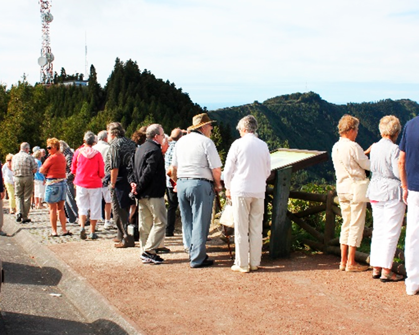
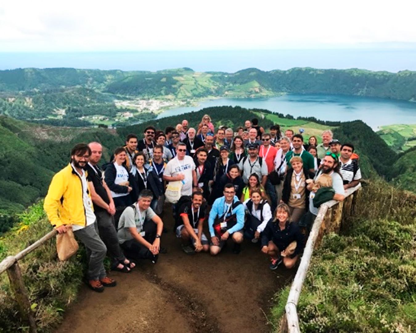
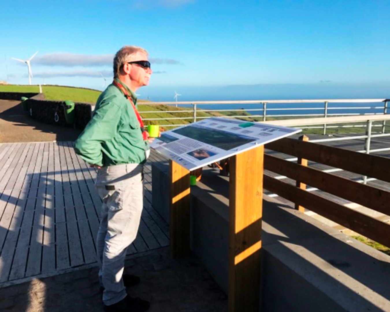
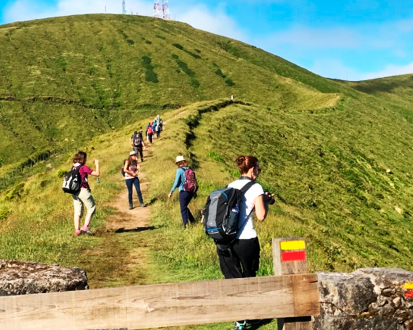
Album