| Acronym: | PO ACORES 2020-2015-GPS Azores |
| Cost Center: | 616 |
| Operation Code: | ACORES-01-0145-FEDER-000002 GPS Azores |
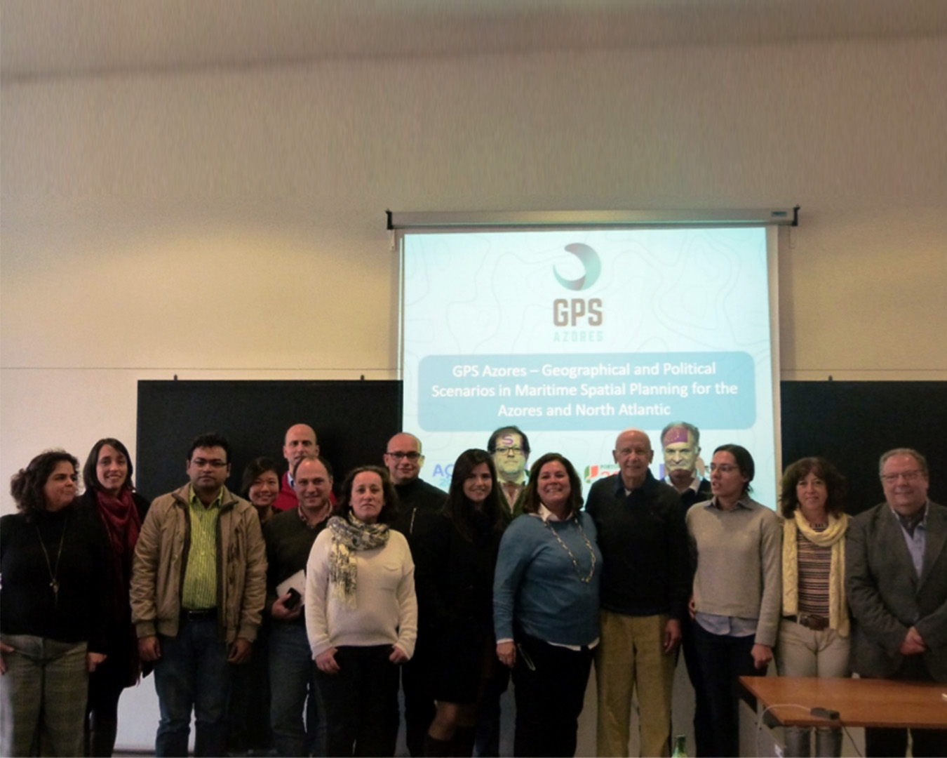
| Title: | GPS Azores - Geographical and Political Scenarios and Maritime Spatial Planning for the Azores and North Atlantic |
| Start-End: | 01-09-2016 - 31-08-2021 |
| Entidade Beneficiária Principal: | FGF - Fundação Gaspar Frutuoso, FP |
| Gestores da FGF: | Lúcia Cláudio |
| Responsible Researcher: | Helena Maria Gregório Pina Calado |
| Organic Units: | FCT - Faculdade de Ciências e Tecnologia |
| R&D Units: | CIBIO-A - Centro de Investigação em Biodiversidade e Recursos Genéticos |

| Entidade | Montante |
|---|---|
| PO Açores 2020 - FEDER (85.0 %) | 92.697,98 € |
Main Objectives:
The Azores GPS project aims to fill a knowledge gap regarding potential and current uses of maritime space; the “uses-uses” and “uses-environment” conflicts, and on Sustainable Development Scenarios for Maritime Spatial Planning.
Focusing on the Azores Archipelago and the North Atlantic, the project will:
(i) provide a detailed diagnosis of maritime governance, as well as its political and legal framework in the North Atlantic;
(ii) develop a first approach where the spatial components of maritime governance will be identified;
(iii) identify uses, conflicts and possible scenarios for the development of Maritime Spatial Planning for the Azores;
(iv) increase the Scientific Production of Quality and Oriented to Intelligent Specialization
Considering the Integrated Maritime Policy (IMP) implemented by the European Commission, the work will be integrated in order to:
(i) define and establish geopolitical maritime scenarios, considered of strategic interest;
(ii) develop an information platform to support Maritime Policy through: Map Viewer Platform. The determination of geopolitical maritime scenarios is a tool that offers visibility to a territory (the ocean) where political actions operate with high strategic value. The construction of scenarios will be achieved through the method of intuitive logic, which has proven to be suitable for application in strategic and political scenarios.
Project Description:
The increasing number of human activities in the maritime space results in several impacts, such as loss of biodiversity, decrease in the abundance of species and pollution, as well as other possible consequences that need to be tackled through the implementation of coordinated and sustained actions, in order, and together, to improve the health of the oceans.
The potential of the oceans in terms of mineral, energy and biogenetic resources, both in areas under national jurisdiction and in waters offshore, becomes vital for future generations. An example of this whole process is the interest shown by some States to increase their jurisdictional areas with the expansion of their continental shelf (Suárez de Vivero et al. 2010).
From the perspective of the Law of the Sea, the waters and seabeds between Europe and North America are increasingly covered by national jurisdictions, as a result of submissions addressed to the Commission European Union on the Boundaries of the Continental Shelf and associated declarations of sovereign rights, namely the Atlantic Countries of the European Union (EU) and Norway have expanded their maritime space by more than 5 million km2 (including outdoor areas). Portugal alone has expanded its Atlantic jurisdiction to over 2 million km2. This expansion is the result of a dynamic political and spatial influence over a considerable part of the North Atlantic that may increase with the claims of Canada and the USA (Suárez de Vivero et al. 2009). The EU is a supranational institution that is the most advanced and ambitious ocean governance structure relevant to all. The Blue Book (COM (2007) 575 final) and the 2007 Action Plan (SEC (2007) 1278) form the basis of its Integrated Maritime Policy (IMP).
States recognize the present need for a governance framework that applies a more integrated approach to maritime policy. The focus on governance processes and consequent results is fundamental (Olsen et al. 2011). Within the scope of the EU's Integrated Maritime Policy, several thematic actions are developed, with emphasis on maritime spatial planning (OEM), international dimensions and cross-border cooperation, the need for integrated marine governance in EU Member States and others. strategic initiatives (Meiner 2010). Particular attention should be paid to the objectives of Directive 2014/89/EU, which establishes a framework for maritime spatial planning, in order to comply with them.
Additionally, the exploitation of marine resources will generate new conflicts. The current geopolitical reform has, in part, shifted the focus from issues such as "state-centric" related to security or international conflicts, to issues such as threats
environmental, international cooperation and food security. This scenario requires new political and scientific approaches, to which the particular perspective of geography can contribute (Meiner 2010).
The proposal to define maritime geographic and political scenarios for the North Atlantic OEM is integrated into a new global vision, particularly in the North Atlantic, where the main maritime interests, past and gifts. Although the Integrated Maritime Policy is at EU level, it is up to the Member States to formulate, implement and design adequate planning instruments in accordance with national laws. However, maritime planning is almost non-existent in the Autonomous Region of the Azores, with the exception of Marine Protected Areas and some sectoral initiatives. Therefore, a comprehensive and integrated view of existing and potential maritime development is needed (Calado et al. 2011).
The Azores GPS project aims to fill a knowledge gap regarding potential and current uses of maritime space; the “uses-uses” and “uses-environment” conflicts, and on Sustainable Development Scenarios for Maritime Spatial Planning.
Results:
3 Scientific meetings; 1 online meeting; 6 International scientific articles; 4 National scientific articles; 6 oral communications in Congresses; Map Viewer Platform and Website.
Album